FAIR is a non-profit organization dedicated to providing well-documented answers to criticisms of the doctrine, practice, and history of The Church of Jesus Christ of Latter-day Saints.
File:ComorosMap.gif
Revision as of 15:46, 7 October 2005 by MikeParker (talk | contribs) (Map of the Comoros Islands (source: CIA World Factbook; public domain))
No higher resolution available.
ComorosMap.gif (330 × 355 pixels, file size: 7 KB, MIME type: image/gif)
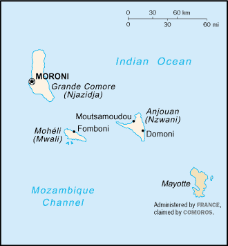
Map of the Comoros Islands (source: CIA World Factbook; public domain)
File history
Click on a date/time to view the file as it appeared at that time.
| Date/Time | Thumbnail | Dimensions | User | Comment | |
|---|---|---|---|---|---|
| current | 15:46, 7 October 2005 | | 330 × 355 (7 KB) | MikeParker (talk | contribs) | Map of the Comoros Islands (source: CIA World Factbook; public domain) |
- You cannot overwrite this file.
File usage
The following 4 pages link to this file: